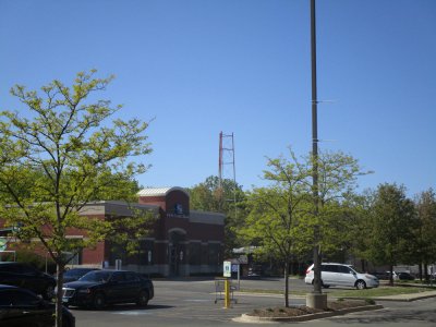
Between the North Shore Channel and McDaniel Avenue, just east of McCormick Boulevard and just north of Main Street, Evanston. The area used to be private property, but now is public property known as Harbert Park.
Two shorter towers for AM 1330, maybe 150' max. The two towers were almost north and south of each other, with the south tower slightly more to the SE of the north tower, so the main lobe was probably about 160-170° WEAW most likely did not operate with 5,000 watts (only 500 or 1000 watts) until the transmitter site was moved to Northbrook and a larger parcel of land was secured because there wasn't enough space to "rotate" the towers to a more East-West direction as it is now to maximize the null of the pattern for Rockford. Plus the 4-tower array in Northbrook would have been needed to protect the 1340's in Joliet and Milwaukee with the increased power. I believe the taller FM tower was 240'. I thought the neon sign saying WEAW vertically was on the taller tower. I used to live in Evanston in the 50's and 60's less than a mile east just off of Main St., so of course I saw the station all the time.
For fun, I found this too:
I wonder if WEAW-FM operated with 36 kW ERP at first as the letterhead suggests, and then went to 180 kW ERP by using a TPO five times greater?
As for WCPT 820 at night, that coverage map is laughable! Unless there were auroral conditions attenuating CHAM's and WBAP's skywaves, there is no way the red line goes out that far on the end and sides of the pattern, derate at least 5 maybe 10 miles! For example, at Lake-Cook and IL-53 at night the signal is usually torn up really badly by WBAP, and to a lesser extent, CHAM. The R-L coverage map shows that there is supposed to be a "city-grade" signal there.
WCPT-AM Radio Station Coverage Map WCPT's coverage is great in the daytime though, a really good signal just east of Rockford, for example. They hold their own with WBBM 40 kHz down the dial.

")